Route Planning
Advertisement
Global Fleet Control
Modular PC-Software package for planning and documentation of any sea routes with integrated Time Tables and versatile application possibilities (graphical route planning, time table creation, detailed fuel consumption calculation and many extras)
Advertisement

MarinersOffice
Maritime Software - Draft Survey, Lashing and Route calculations for Merchant Navy. User-friendly Draft Survey, Lashing Calculations and Route Planning software for Ships' Officers and Marine Surveyors. Mariners Office is easily operated using either
TELchart v.3. 5. 1932
TELchart is an electronic charting system (ECS) for maritime use. The system makes use of vectorized marine charts from C-Map and offers a wide range of functions for navigation, route planning, safety, logging and data presentation.
Maritime Software Suite v.9.4
Maritime Software Suite is a user-friendly Draft Survey, Lashing Calculations and Route Planning program for Ships' Officers and Marine Surveyors. Maritime Software Suite is easily operated using either Keyboard or Mouse.

KL Traffic by Tc v.2.0.0.0
Developed by MSP Malaysia KL Traffic by Tc was created for route planning. It was designed as a guide to help you get to your destination safely and easily. Rate us and give us review! Changes from 1.0 to 2.0 1. UI revamp 2. Favorite feature 3.

GPS Turn-by-Turn v.1.10.0.0
v1.10 with few bug fixes. == Mango v1.8 update includes bug fixes, few UI changes. == Get voice guided turn by turn GPS navigation. NOTE: Uses your cellular data connection. Route planning limited to 8 miles in Trial mode (Ad-supported). ✔ Turn

Navi Ninasus v.3.6.0.0
Navi Ninasus is a Turn-by-Turn navigation application with voice guidance. Warning: internet required for route planning and voice guidance. Features full list: - Turn-by-Turn routing - Voice guidance - Automatic and manual route recalculation -
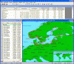
Verein v.12
Job execution Webviewing - directories -, integrated from the offer to the reminder with statistics functions and ordering, road maps - aerial photographs - route planning from address existence, 12 monthly Chart among other things spell verification
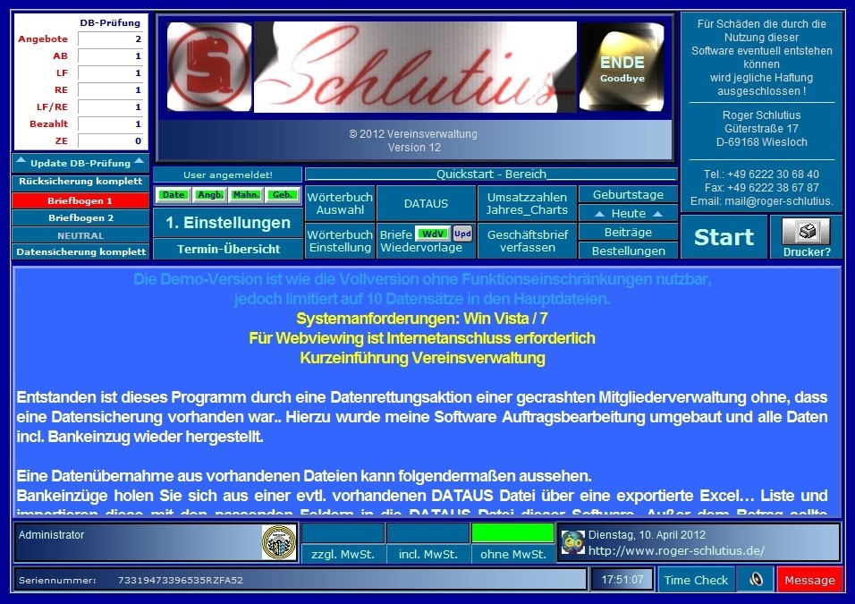
K 2007XP DB Business v.12
Job execution Webviewing - directories -, integrated from the offer to the reminder with statistics functions and ordering, road maps - aerial photographs - route planning from address existence, 12 monthly Chart among other things spell verification
MaritimeSoftware Suite v.8.8
Maritime Software Suite is a user-friendly Draft Survey, Lashing Calculations and Route Planning software for Ships' Officers and Marine Surveyors.
MyWay Navigation Framework v.1.0
Java navigation framework for route planning and tracking with GPS, based on eclipse RCP and hibernate3.